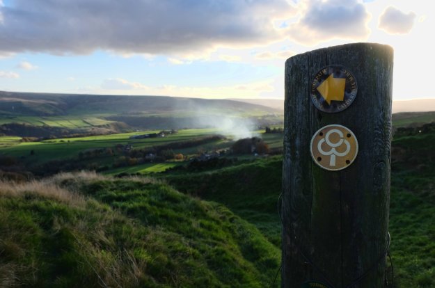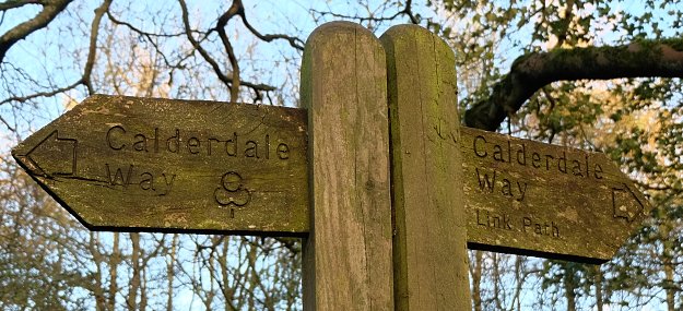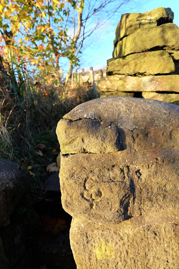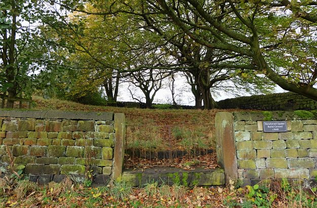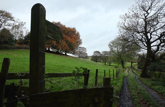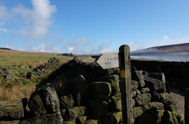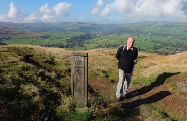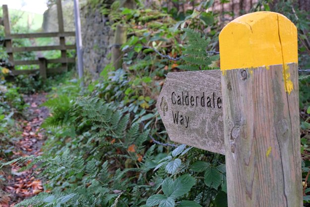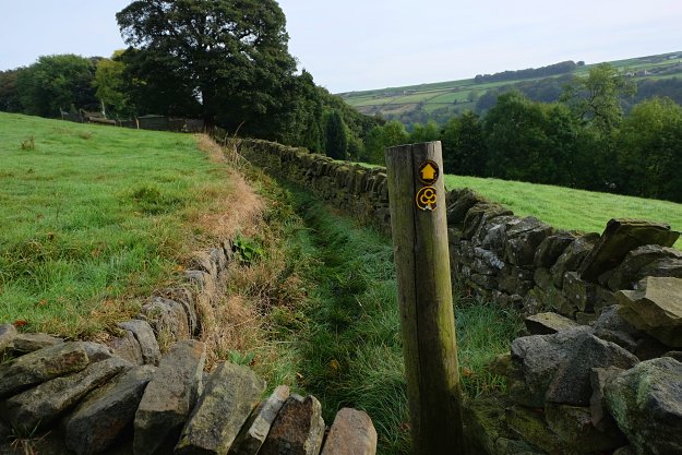
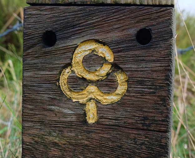
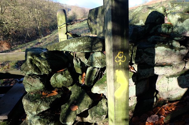
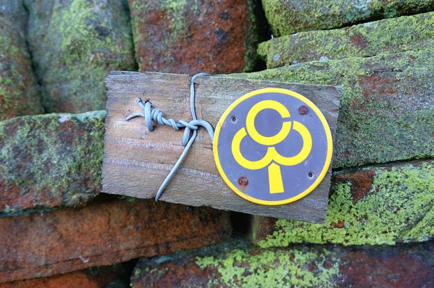
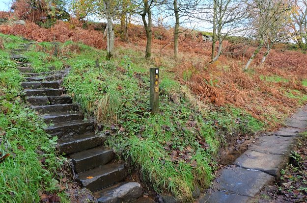
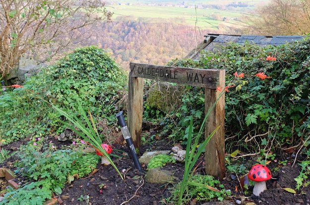
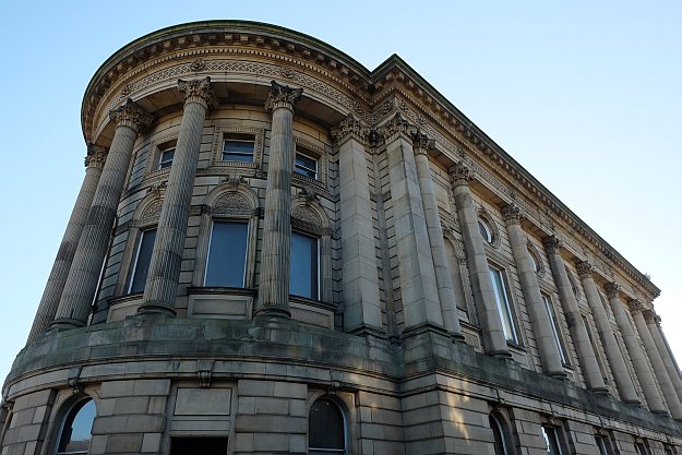
Calderdale Way Waymark
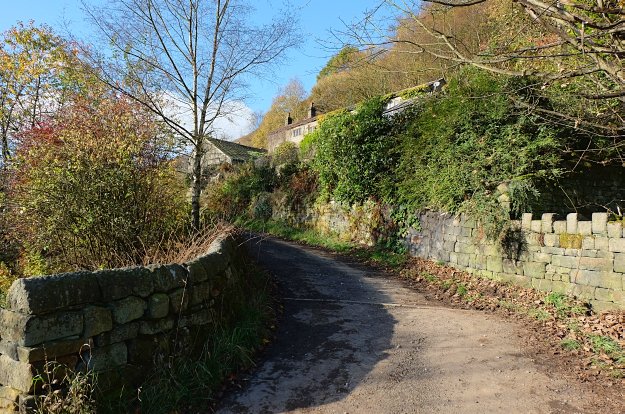
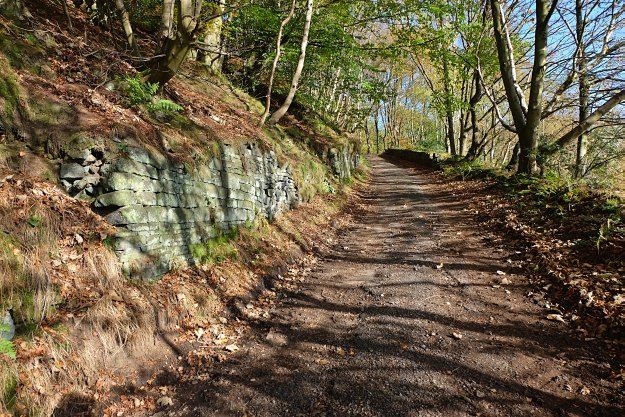
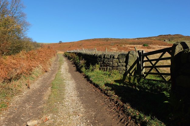
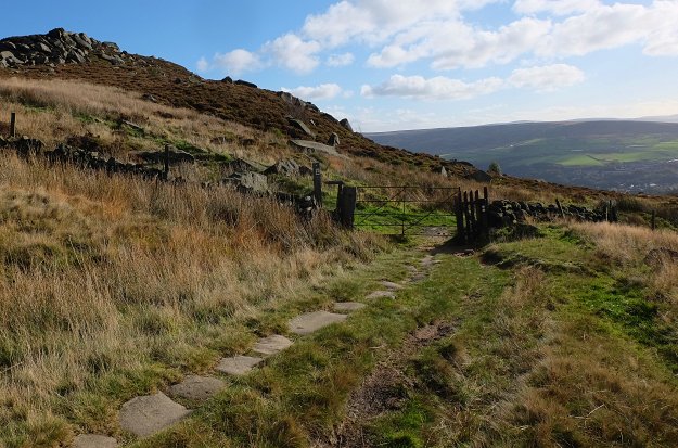
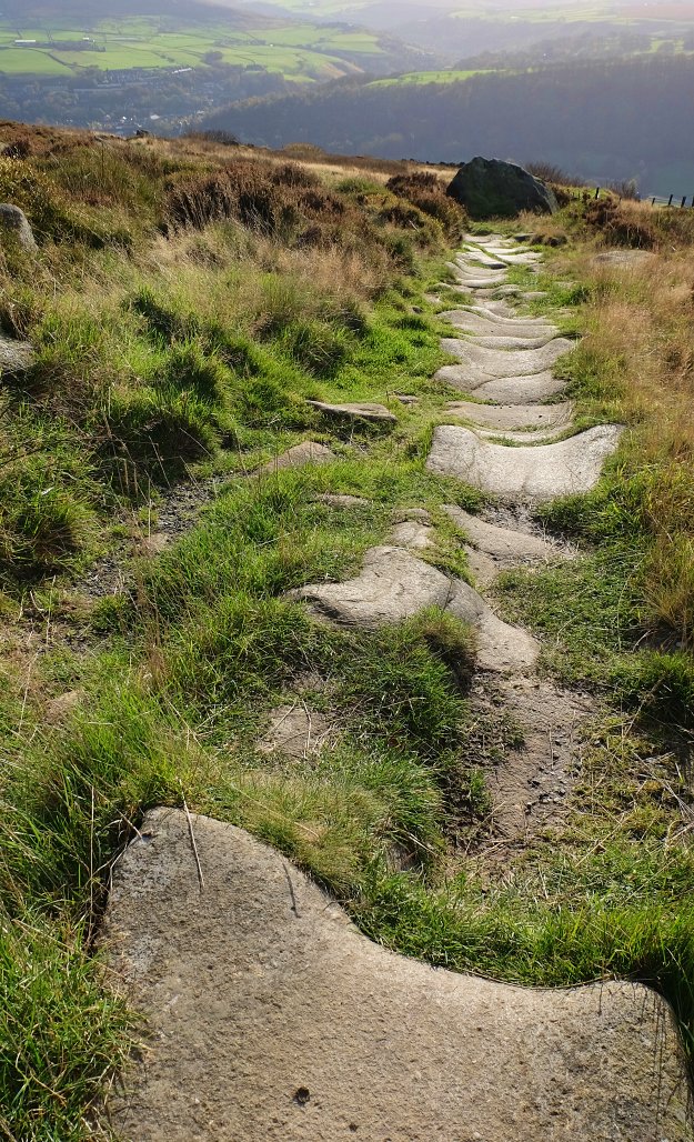
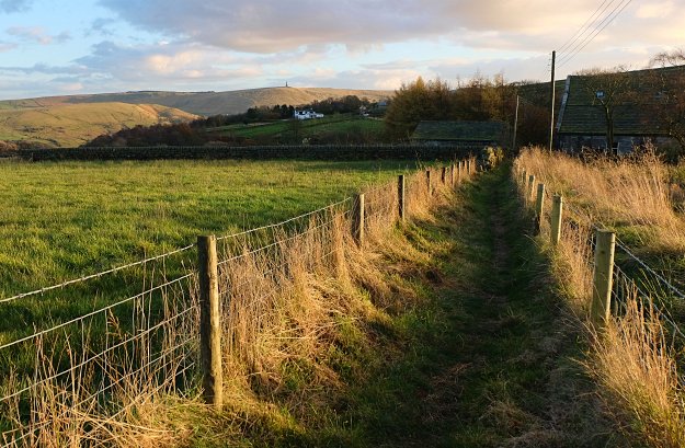
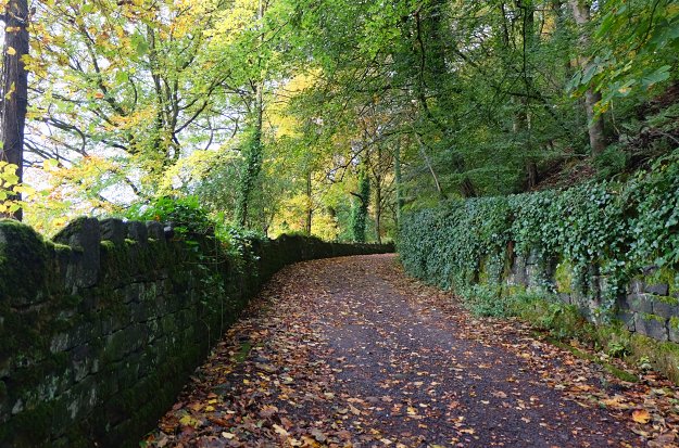
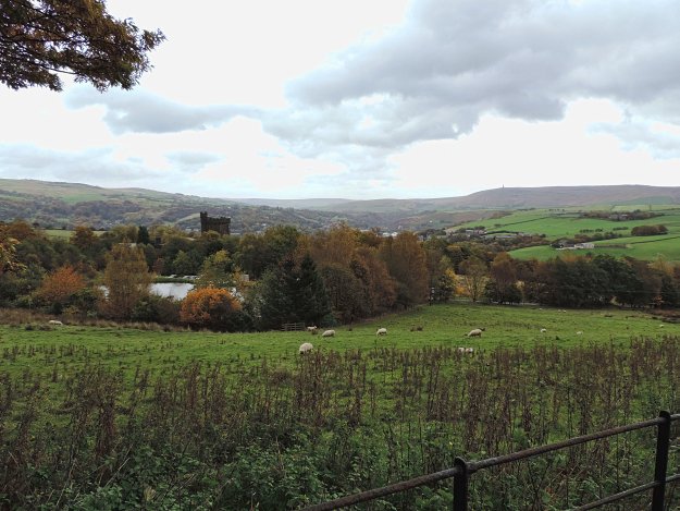
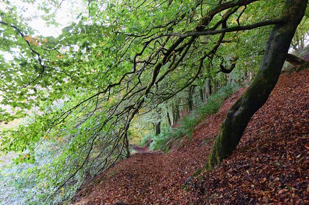
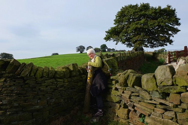
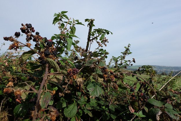
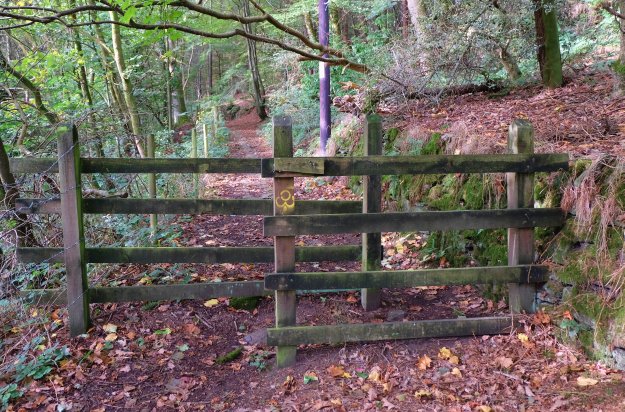
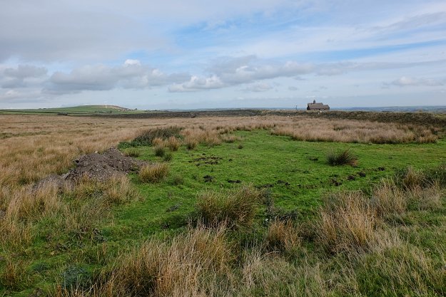
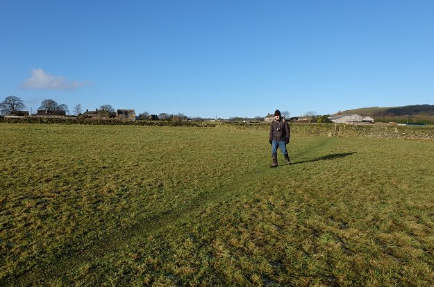
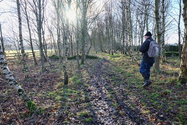
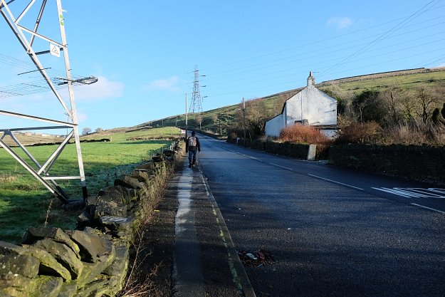
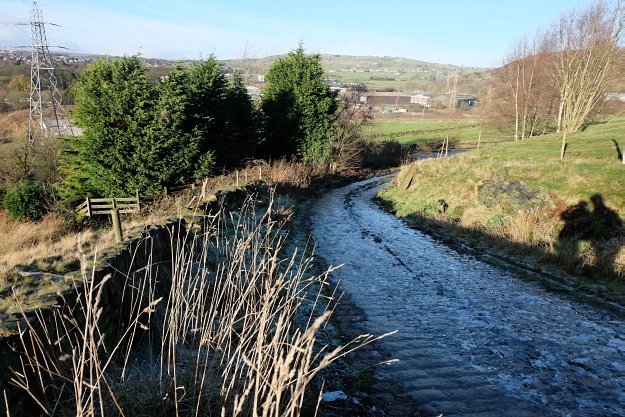
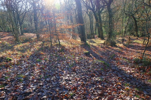
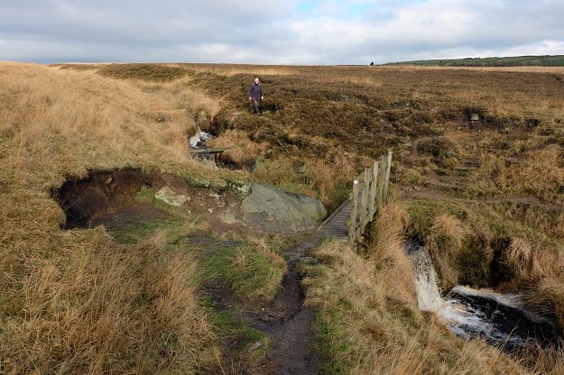
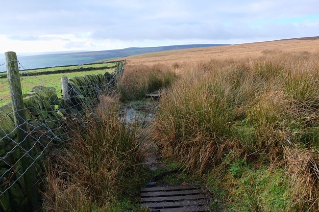
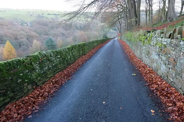
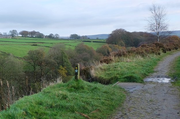
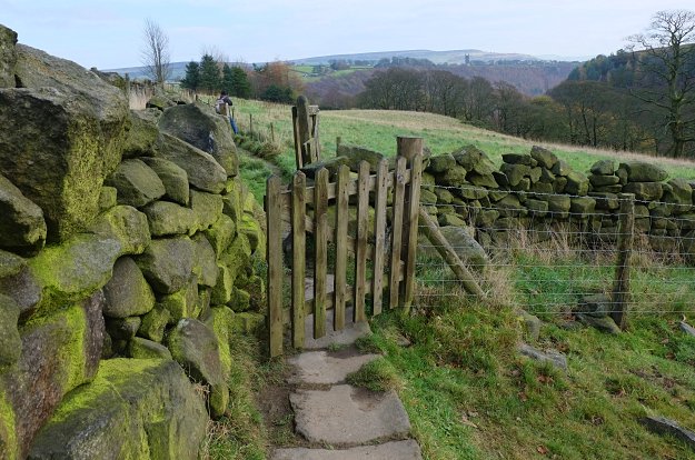
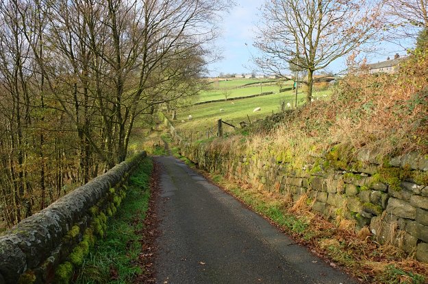
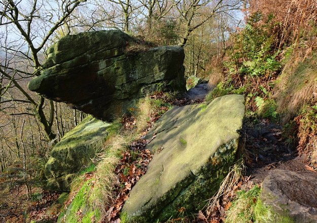
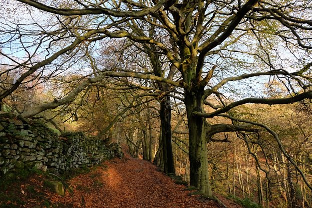
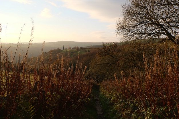
Calderdale Way, a 50 miles/ 80 km circuit, goes around Halifax, Hebden Bridge and Todmorden, following old packhorse ways across the open hillsides with sections of traditional stone causeways, moorland and forest paths. In the autumn the heather will be in bloom and the tree leaves red and gold. (Other seasons available).
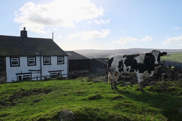
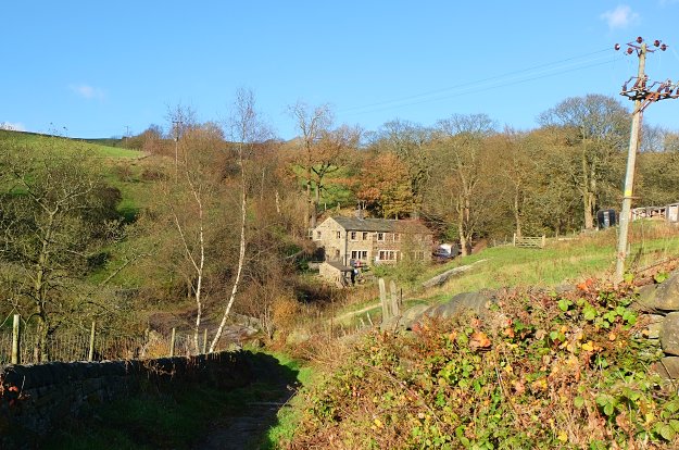
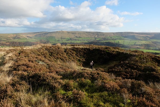
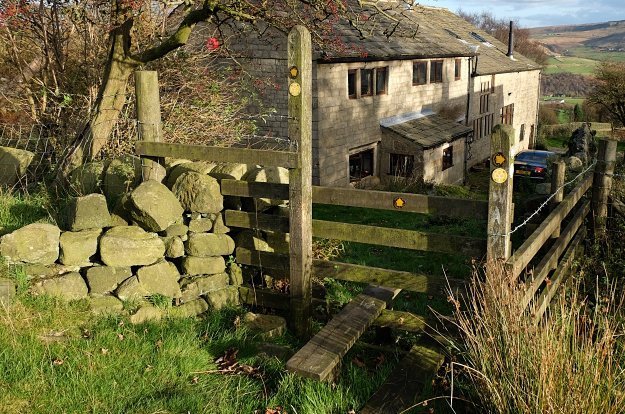
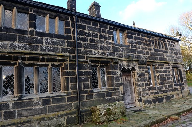
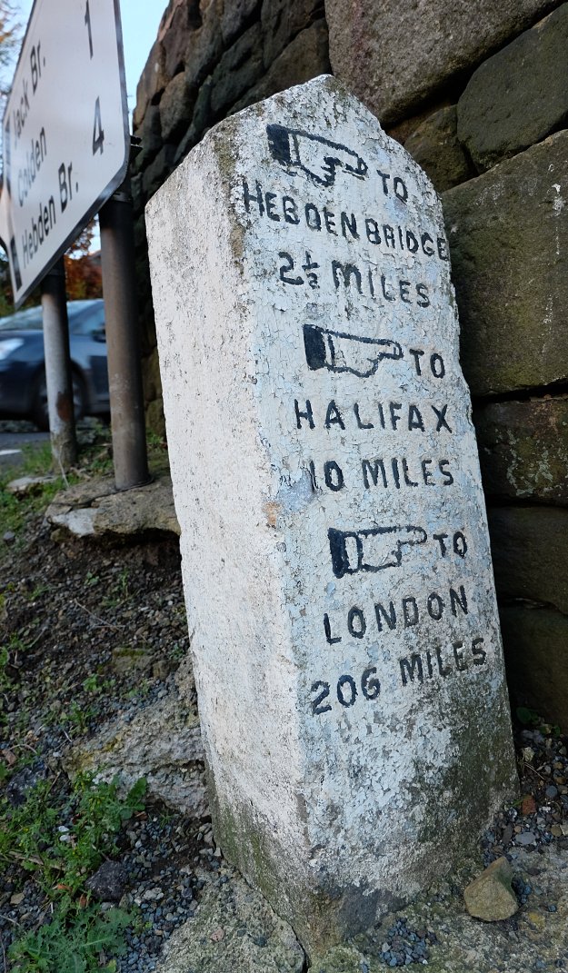
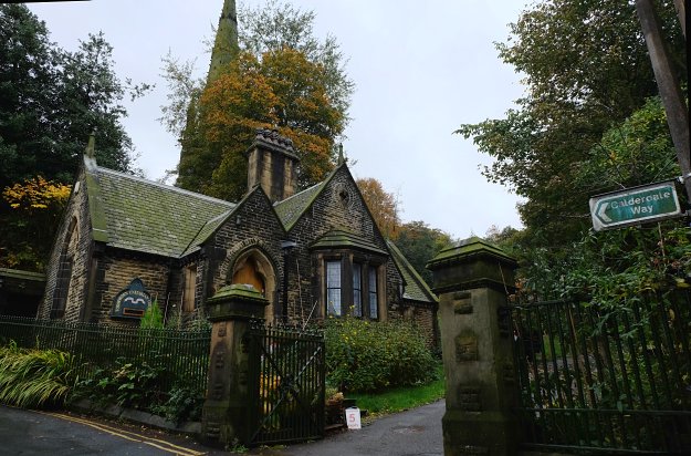
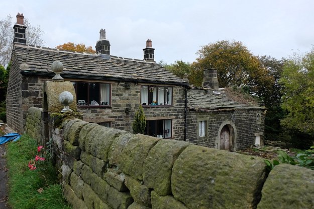
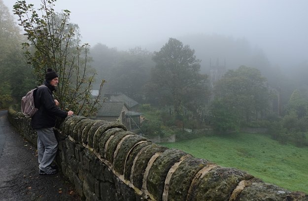
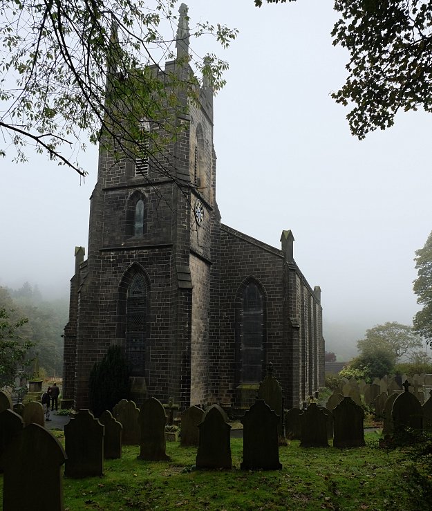
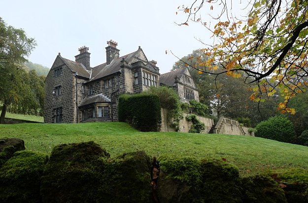
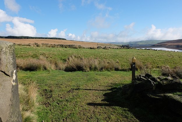
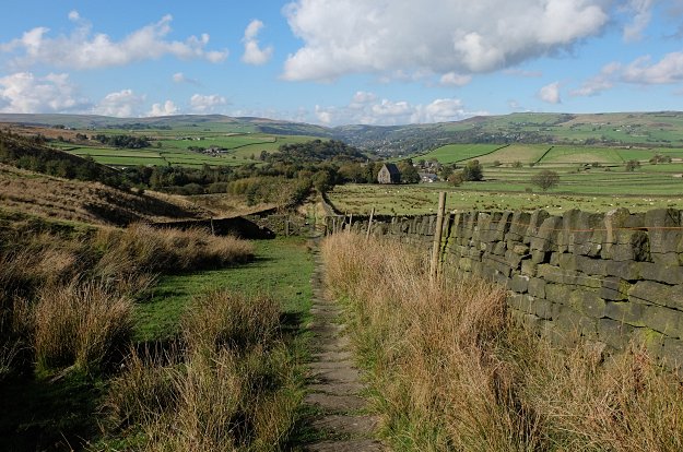
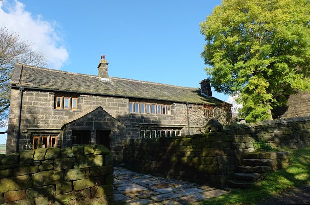
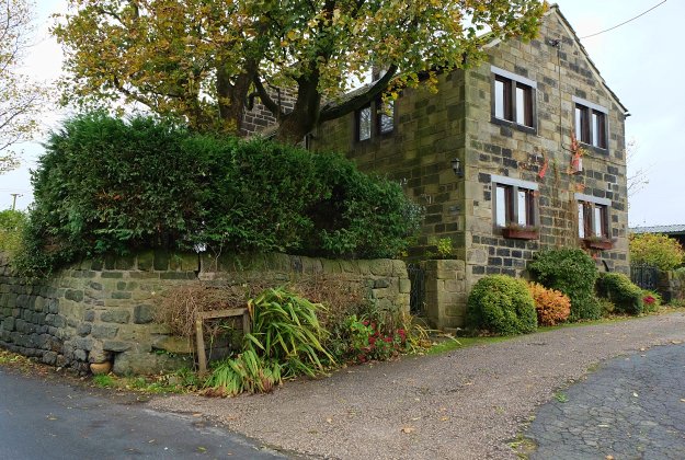
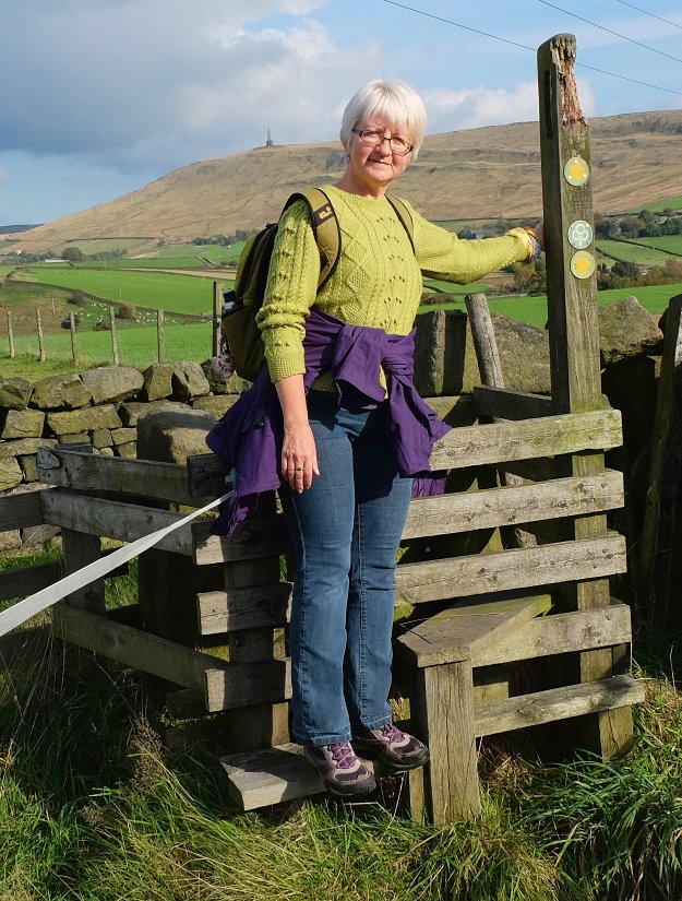
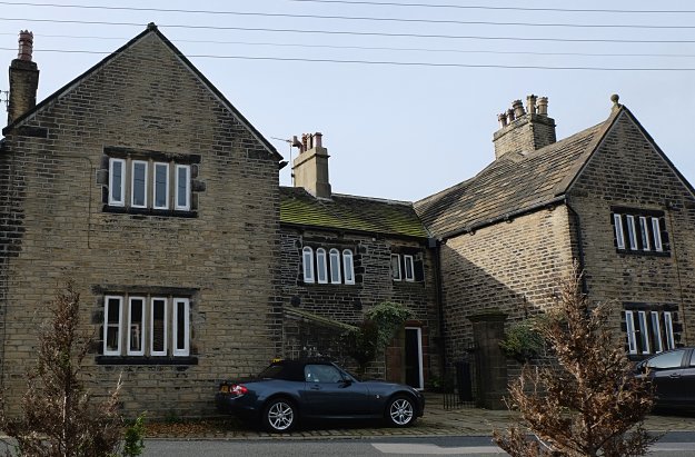
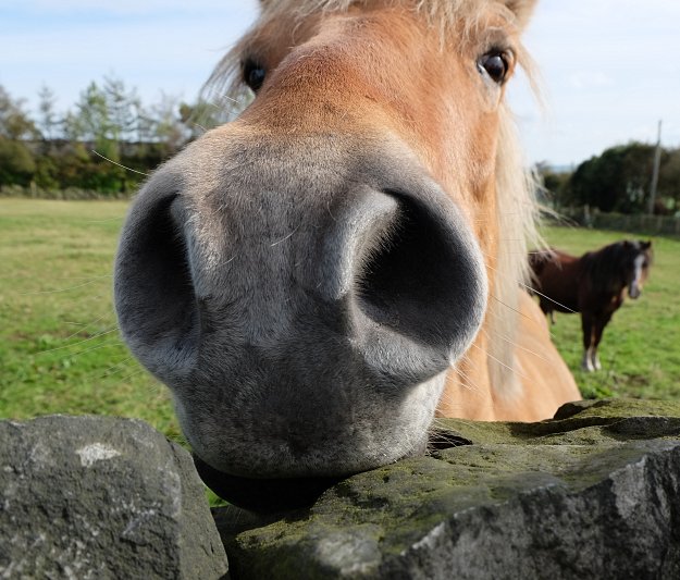
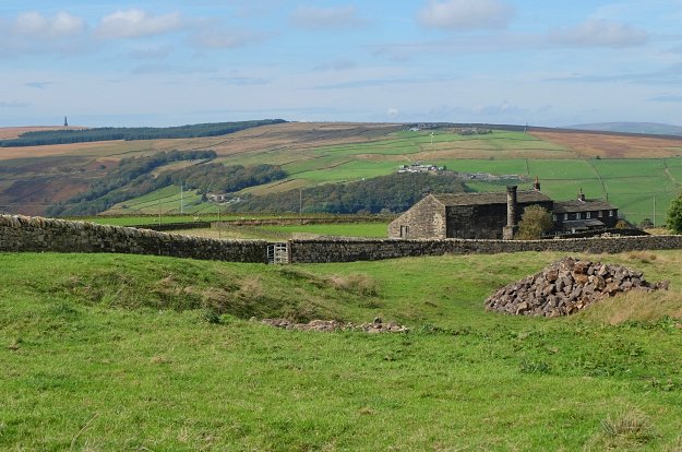
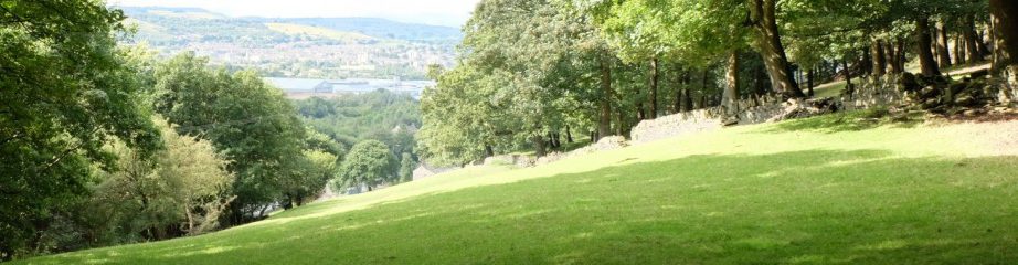
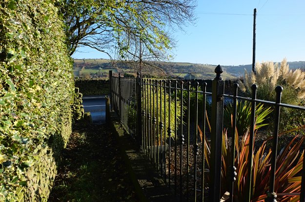
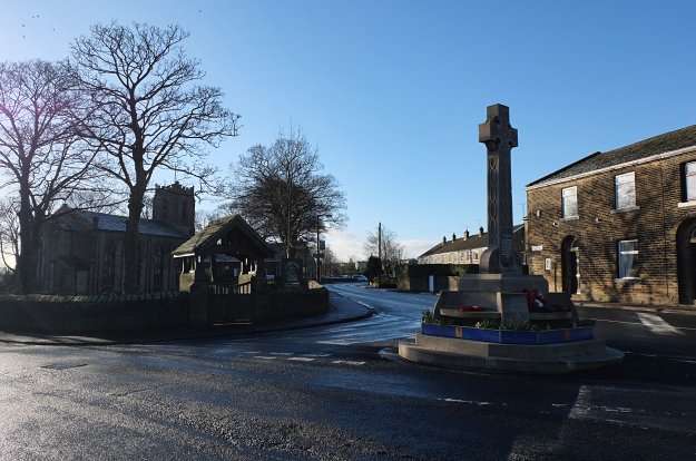
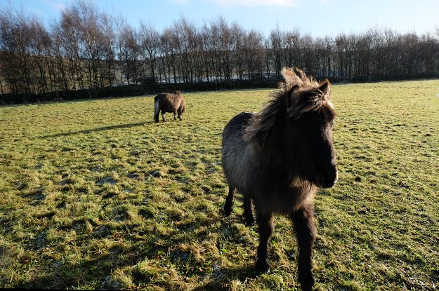
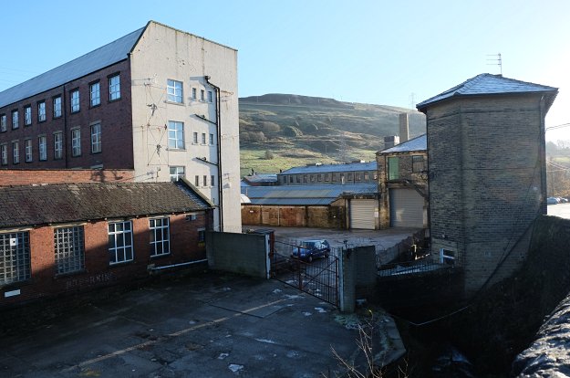
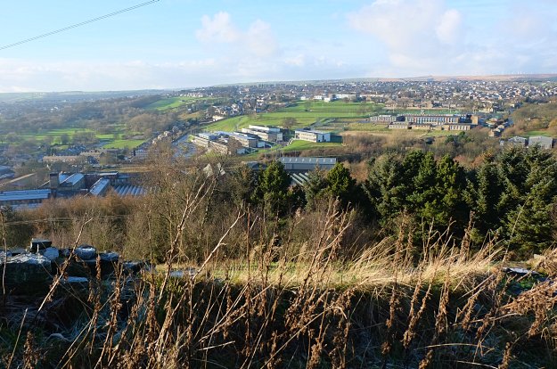
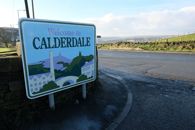
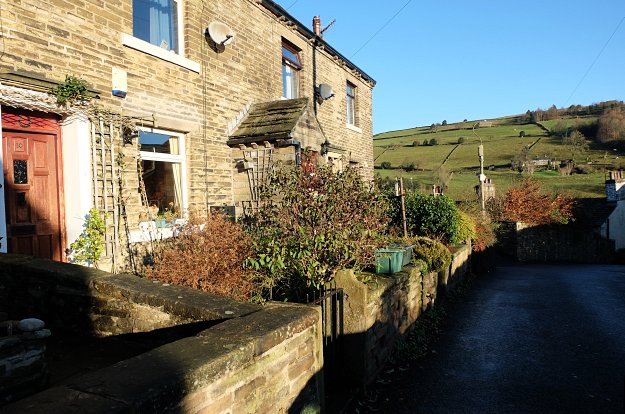
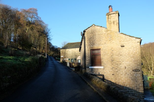
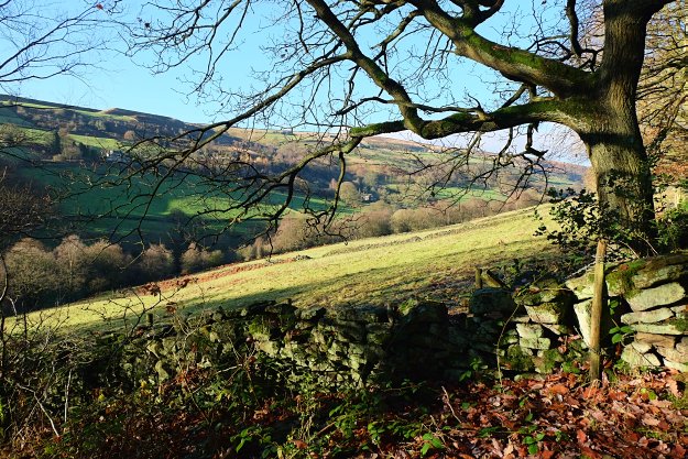
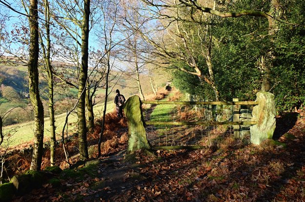
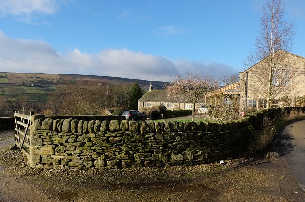
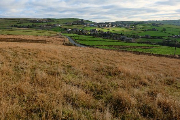
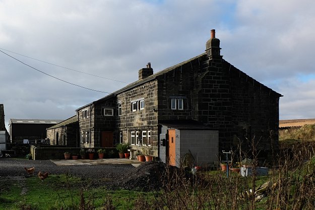
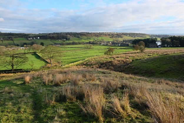
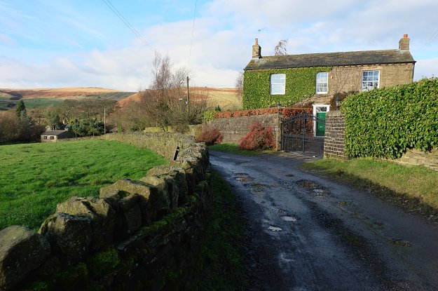
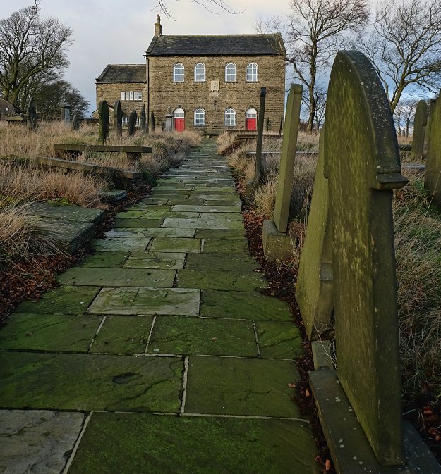
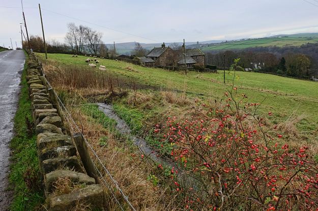
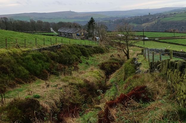
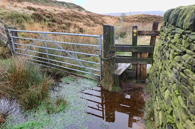
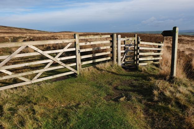
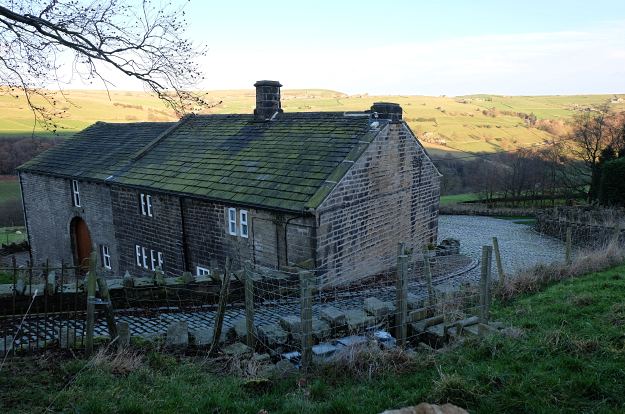
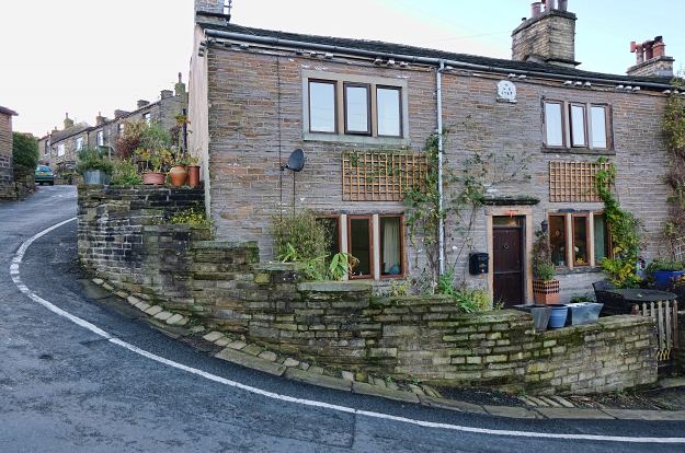
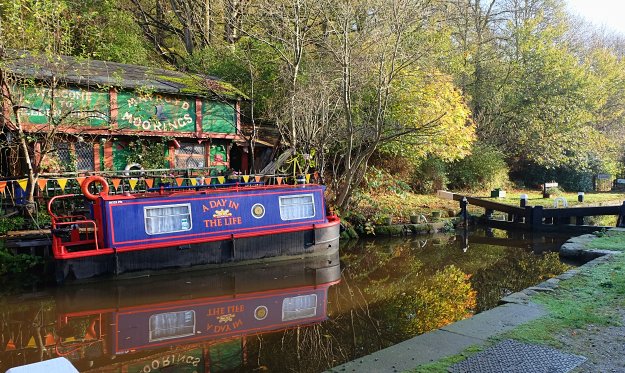
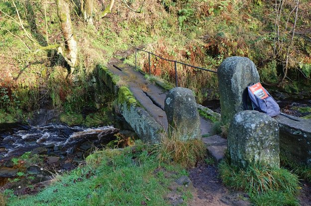
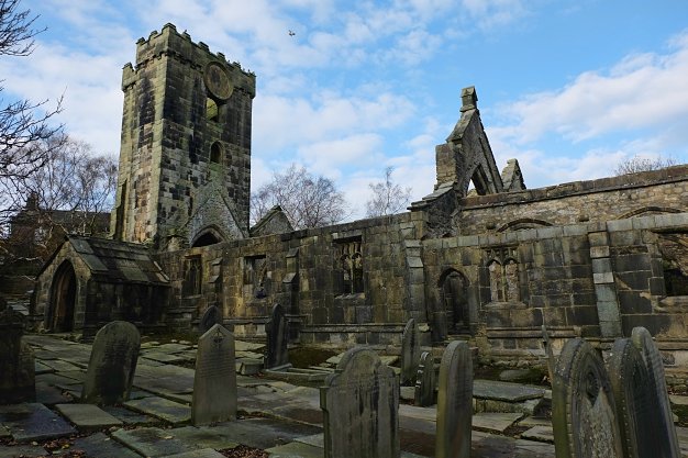
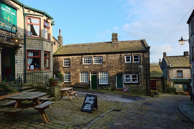
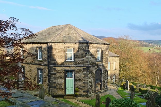
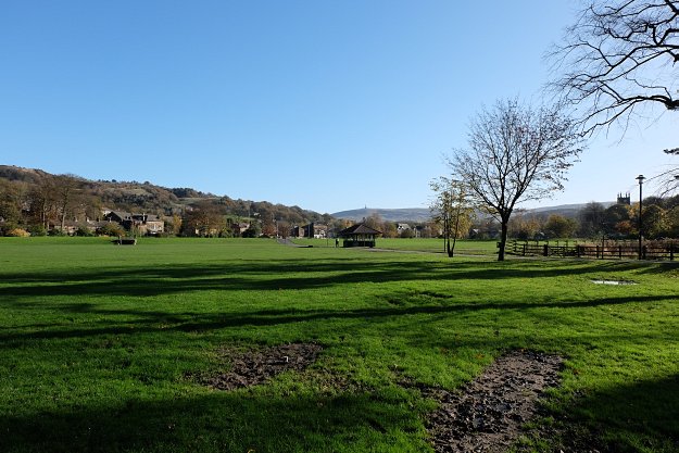
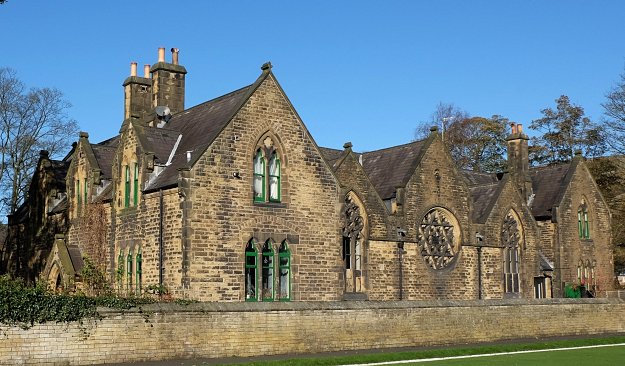
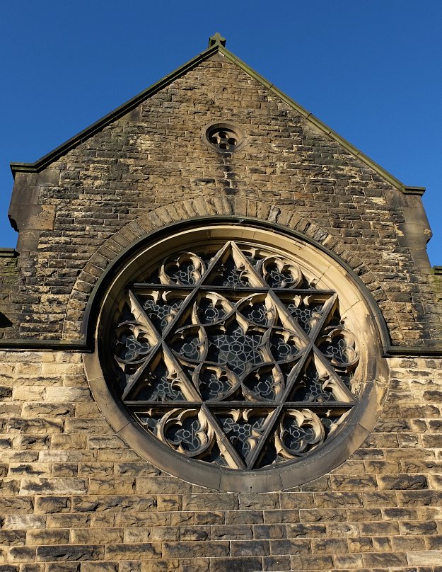
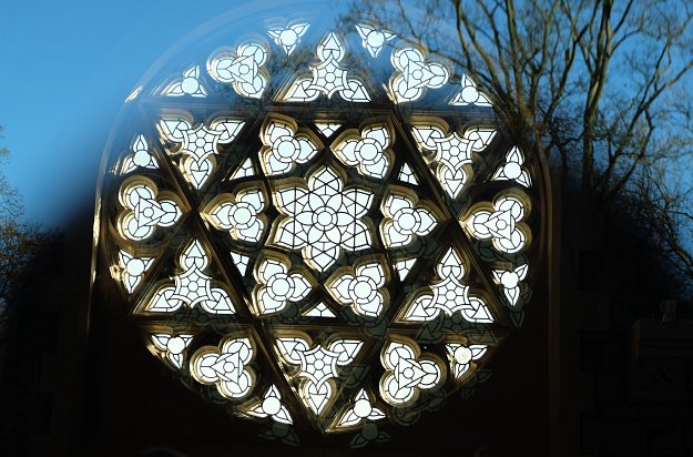
The way passes through hillside villages, hamlets and farms and old mill towns on the banks of the River Calder. You will walk through the medieval settlements at Lumbutts and Mankinholes, Heptonstall and Withens Gate.
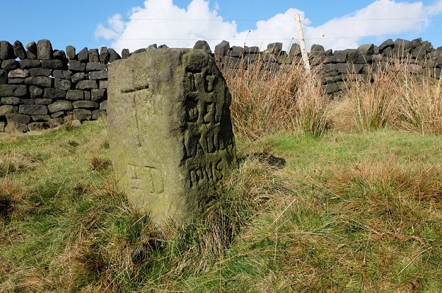
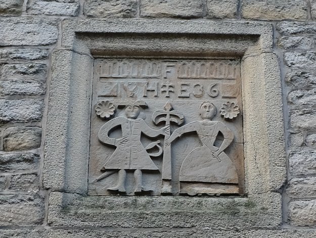
Places names, mostly of English origin around the Calderdale Way, also hold ancient meanings. ‘Calder’ means ‘rapid water’, ‘ley’ as in Stoodley and Midgley means ‘clearing’, ‘dene’ means ‘valley’ as in Todmorden, Ripponden and Luddenden and ‘tonstall’ means farmstead, as in Heptonstall. Scandinavian influences can be seen in names like Sowerby meaning ‘village on sour or muddy land’.
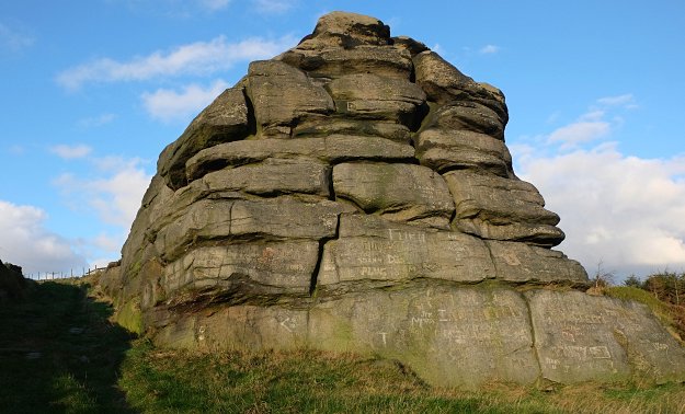
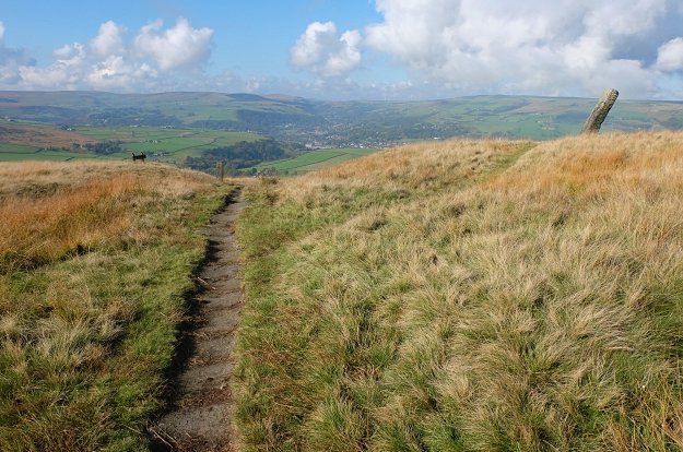
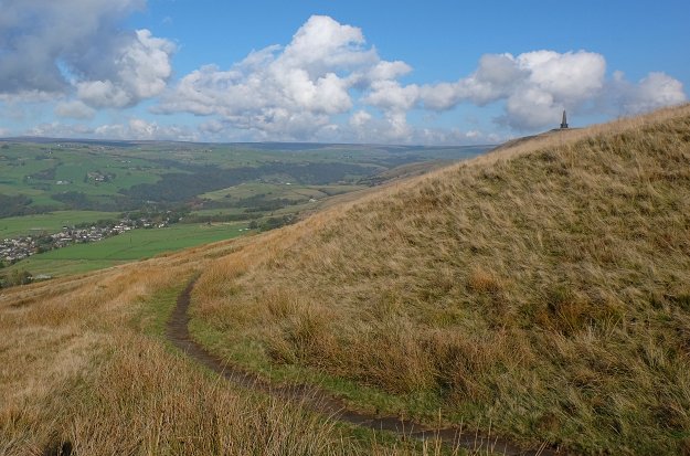
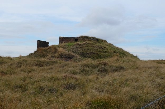
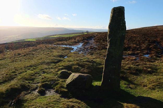
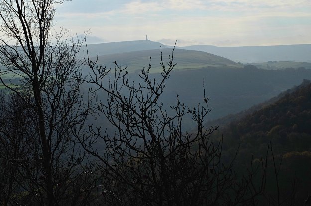
Calderdale Way crosses the Pennine Way twice, once really near to Stoodley Pike – so worth planning a detour to the monument.
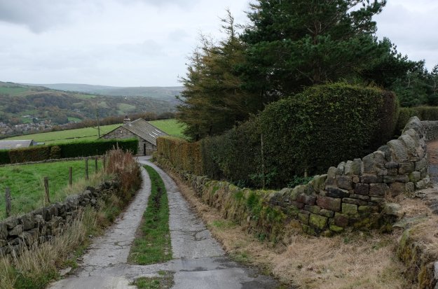
The main and link routes to the valley bottom are designed so that they can be completed in short stages. The starting/ finish points are quite easily accessible by public transport.
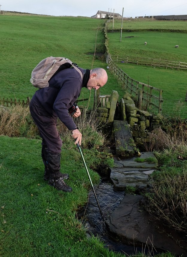
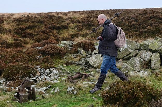
At the time of writing, we still have two more stages to complete. We had set ourselves the end of 2014 as the deadline for completing the walk – well, it didn’t happened – life has this habit of getting in the way of good intentions. I have described each stage completed so far in separate blog post, with a bit of emphasis on the points where we got lost, in case it might help fellow walkers.
A bit about planning and resources:
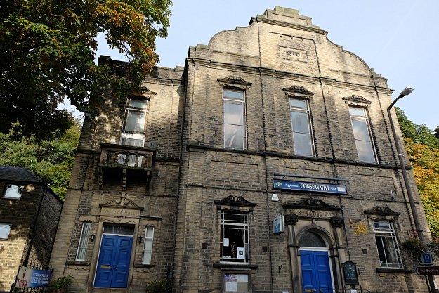
At some point during the summer, while in Hebden Bridge with David, my walking pal, we stopped in the Tourist Information Center for a quick browse and bought the original 1978 Calderdale Way Guide.
A couple of weeks later we thought, you know what ? we are running out of of walking routes ideas anyway, let’s try a ‘Way’. So the Calderdale Way book resurfaced.
To bear in mind, this booklet includes brief route information but is full of historical facts – so we have used it a lot during the walk to understand the landscape, less for walking directions.
A more recent version of the Calderdale Way Guide is (still) available from Amazon.
This is the Calderdale Way route map from the book, and has been great to plan the stages.
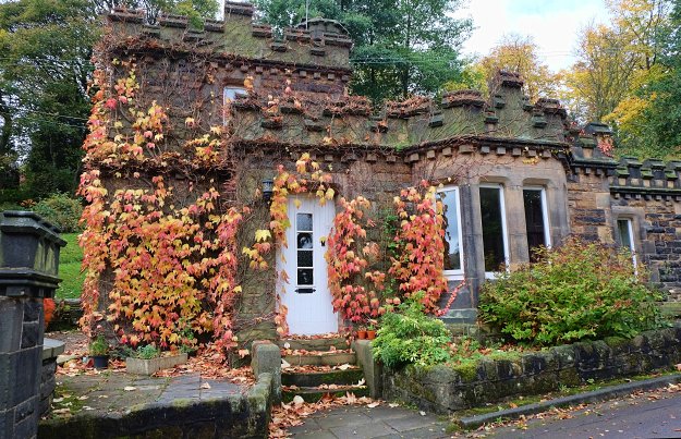
We did stage 7 and 8 together, as they are quite short and we have been in Heptonstall countless times before, but did the rest of the stages as recommended below.
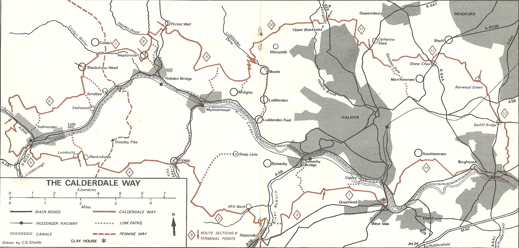
Calderdale Way map route
Following two painful stages in terms of finding the path, I have researched a bit more into the matter of guides and bought Paul Hannon’s Calderdale Way booklet (the 2009 version – click on the name above to buy it).

Amazon has a different version, same as the one published on the Hillside Publication website.
It’s a wonderful booklet, detailed route instructions and packed with excellent facts. This guide changed our walking game entirely.
At this point, I can definitely hear the chorus shouting : What about using a proper map ???
OK, I have used map snippets from the map published on the Calderdale Council website, especially to identify in advance where to start the next stage from.

I like this level of zoom – so I printed the screenshots in advance of each stage. Can’t use proper maps, can’t read them, too small and busy, and the wind usually blows them away. My limitation. Always walk with a map !
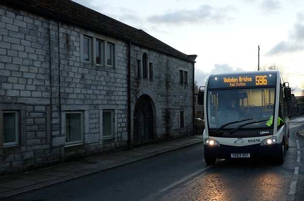
For a the bus routes around Halifax use the Halifax Network Map.
Enjoy !
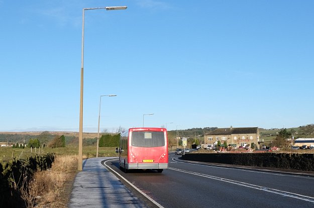
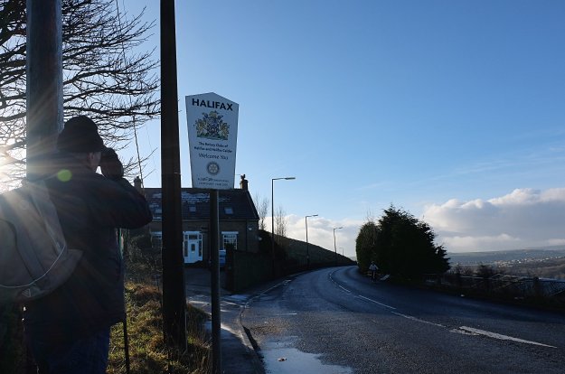
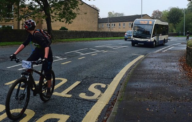
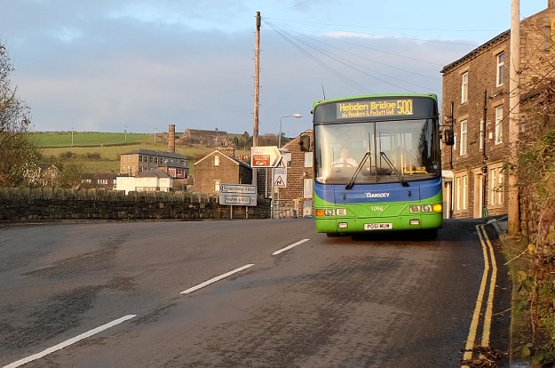
 And here we are, at the bus stop, waiting for the 576 bus – this is a much busier route – with buses every 10 minutes or so.
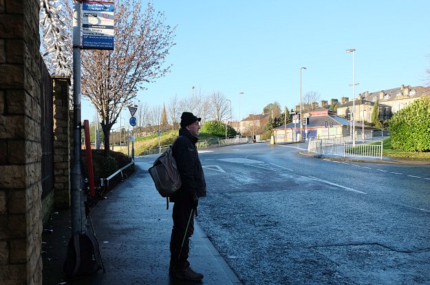
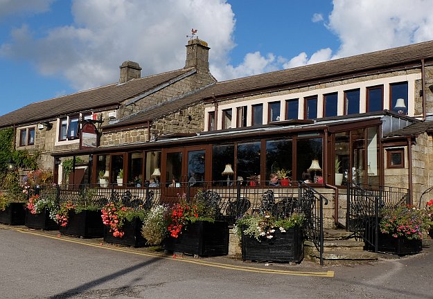
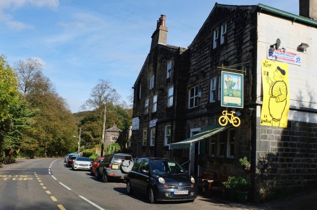
 not before having an argument though, re. having lunch in the pub first.
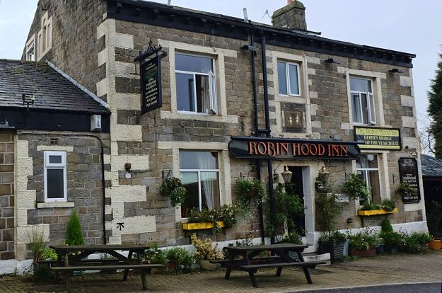


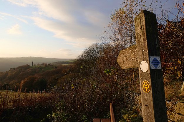
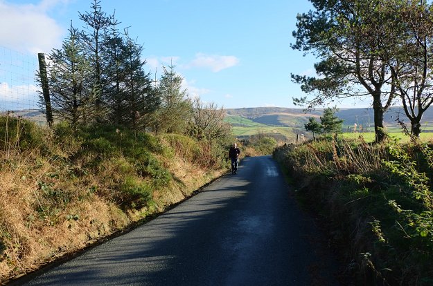
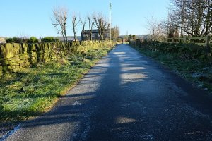
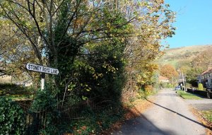 Back on the road again, we walked on to a footpath sign, pointing the way up Stoney Royd Lane.